|
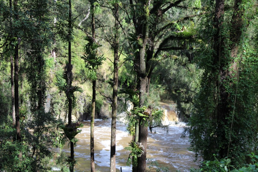
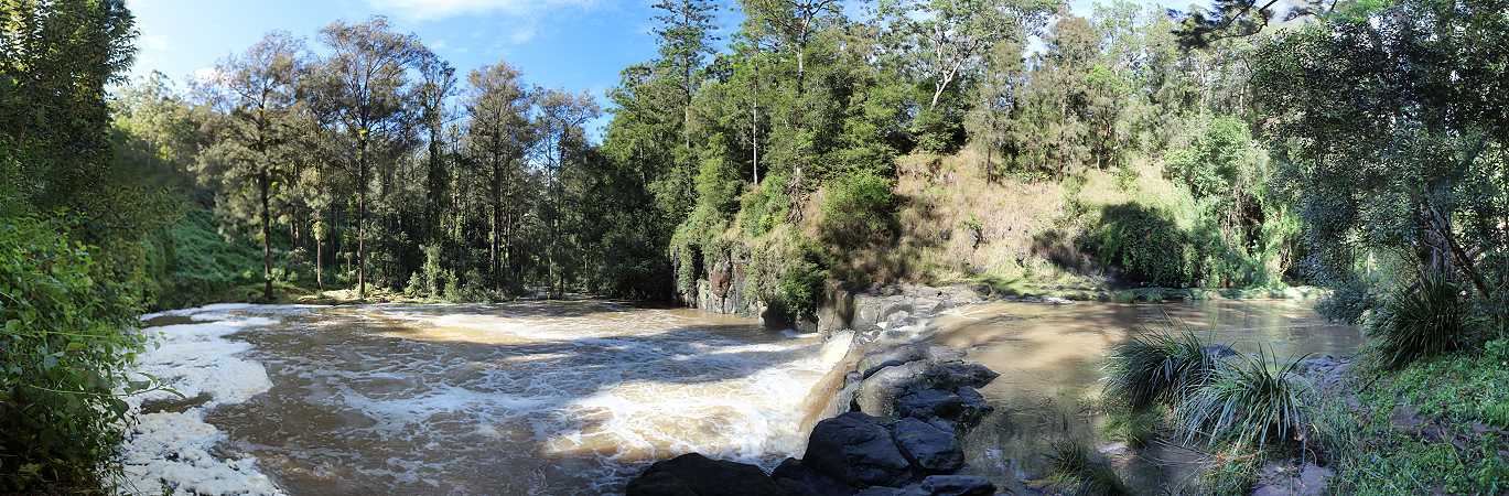
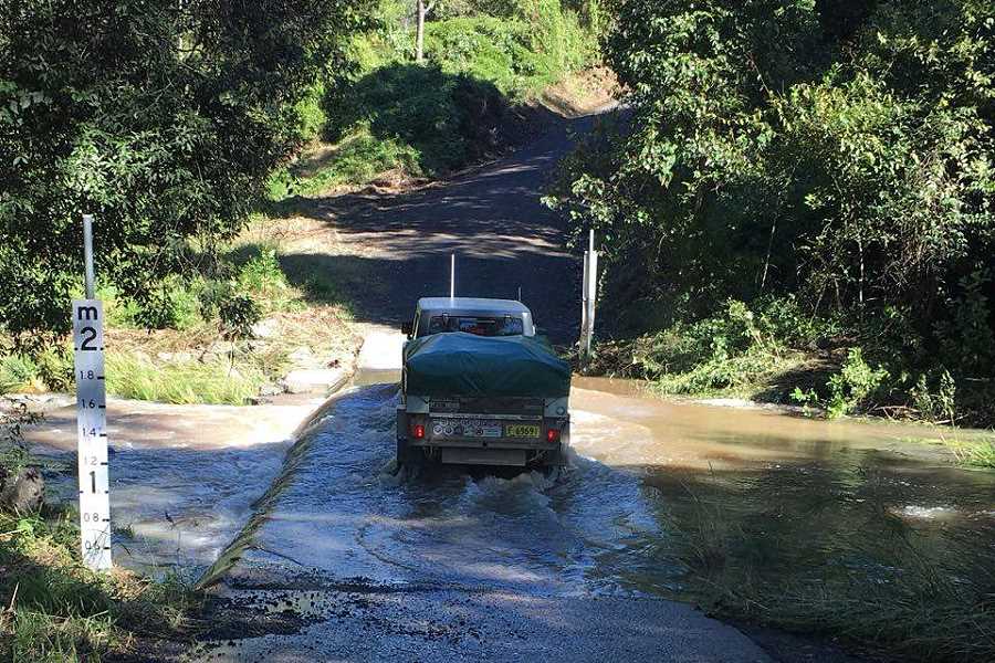
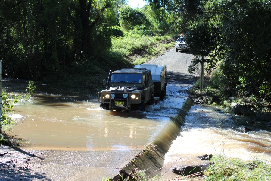
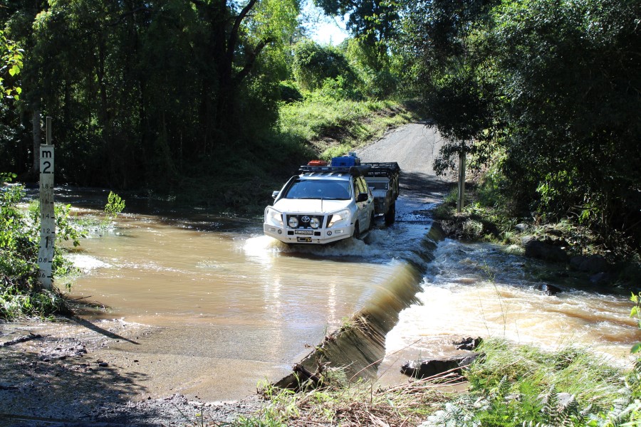
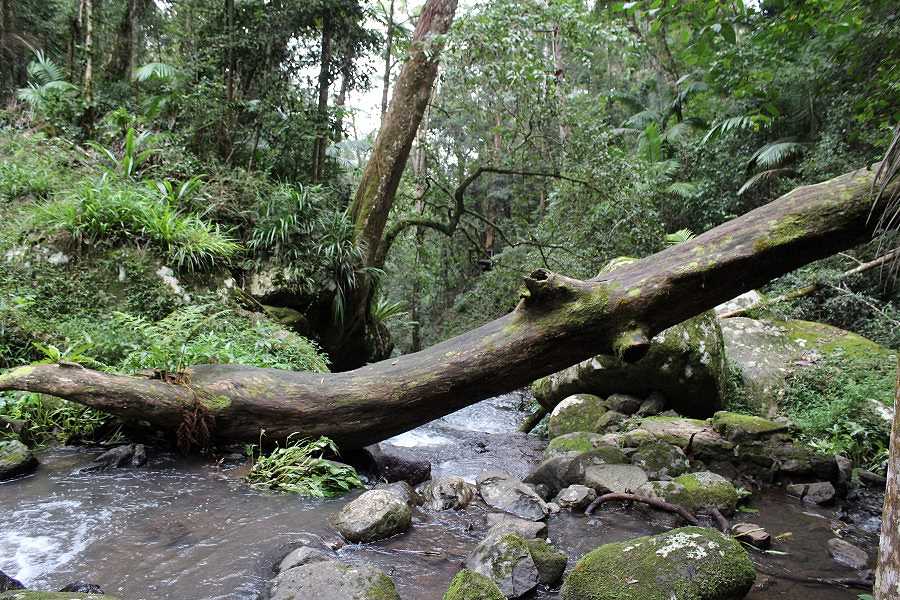
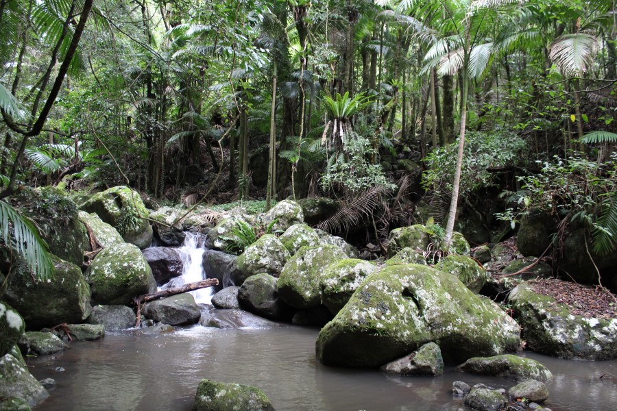
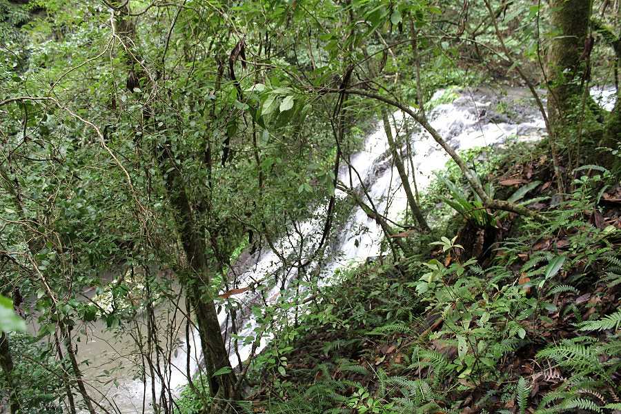
We packed up the wet canvas & headed off along the Murwillumbah road towards the Border Ranges National Park stopping for a short walk at Hanging Rock Falls. There was plenty of water going over the falls after the rain. Luckily water across a causeway had receded by a metre in height so we could continue or wander.
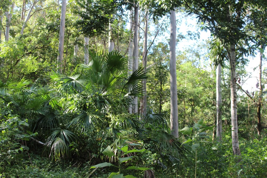
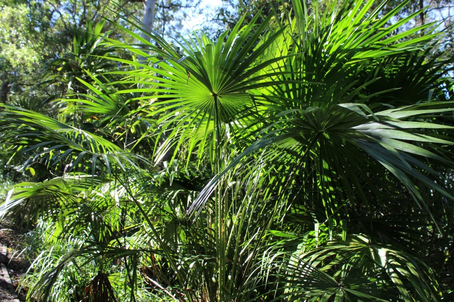
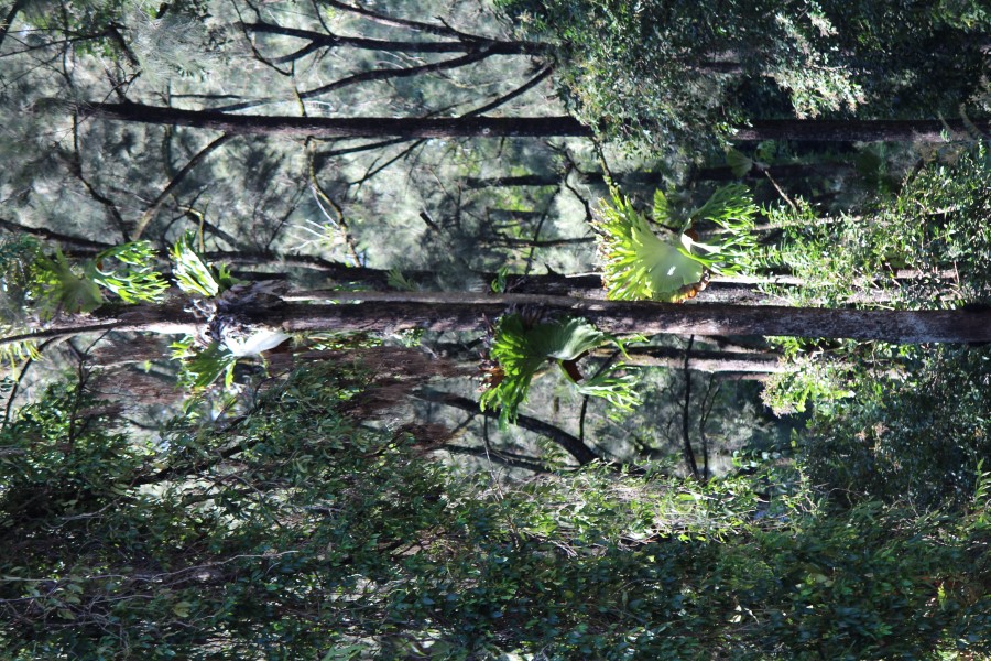
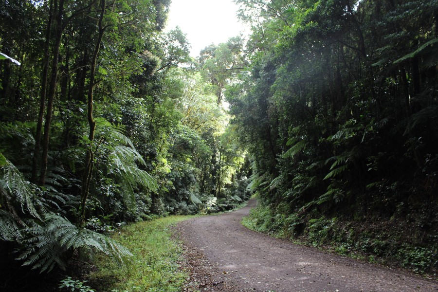
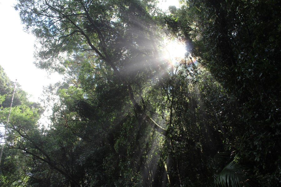
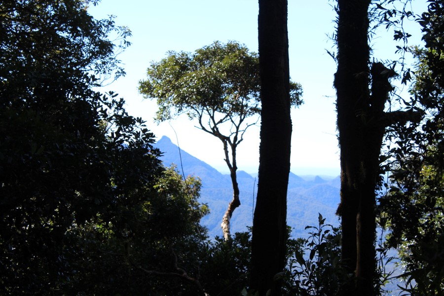
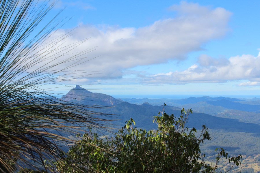
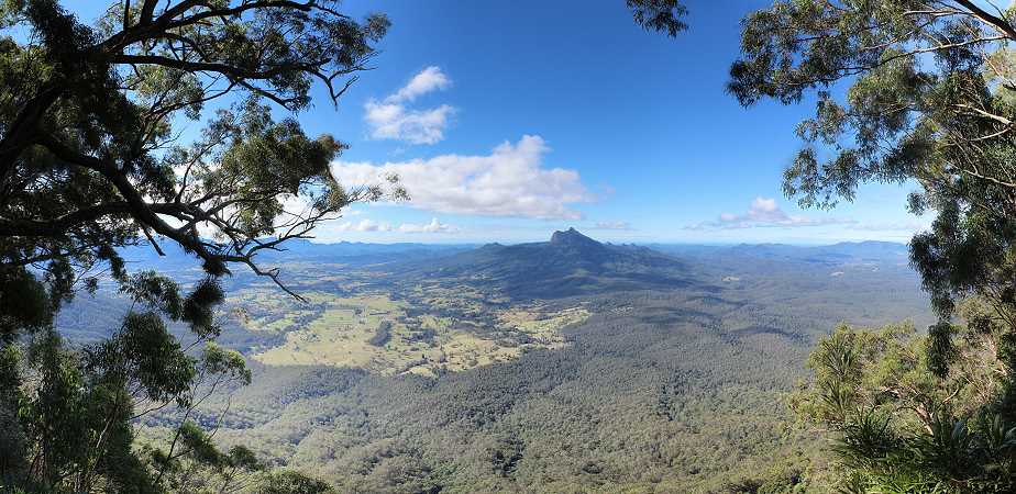
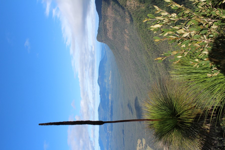
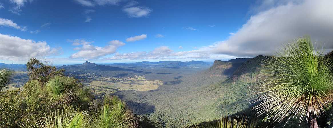
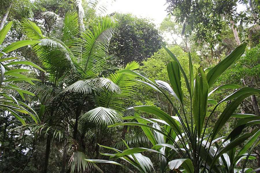
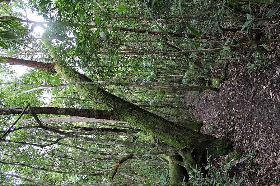
Finally up on the ridges we could see the evidence of the strong winds that had ripped through the previous day with leaves & smaller branches littering the road. We were fortunate enough to miss out on these winds in Kyogle. The Border Ranges National Park protects 31,729 hectares, part of which is the World Heritage Shield Volcano Gondwana Rainforests. It includes the McPherson Range, Tweed Range, Lamington Plateau & Levers Plateau that formed from the erosion of the Tweed Volcano over many years. A number of volcanic plugs remain. Thanks to the heavy rain the day before, we were treated to a crystal clear view of Mount Warning & the scenic rim right out to the ocean from Blackbutts Lookout. Continuing on to the Pinnacle Lookout there was a short walk to another vista of Mount Warning.
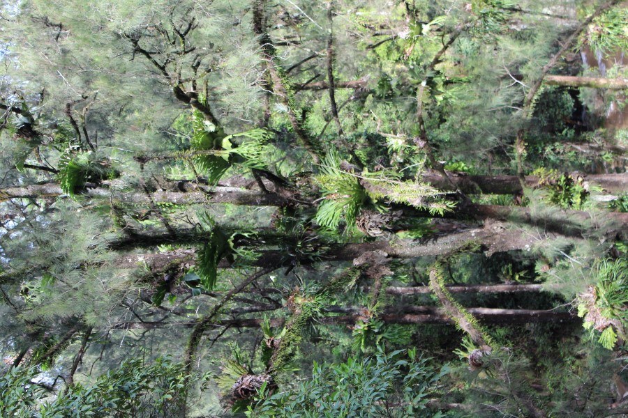
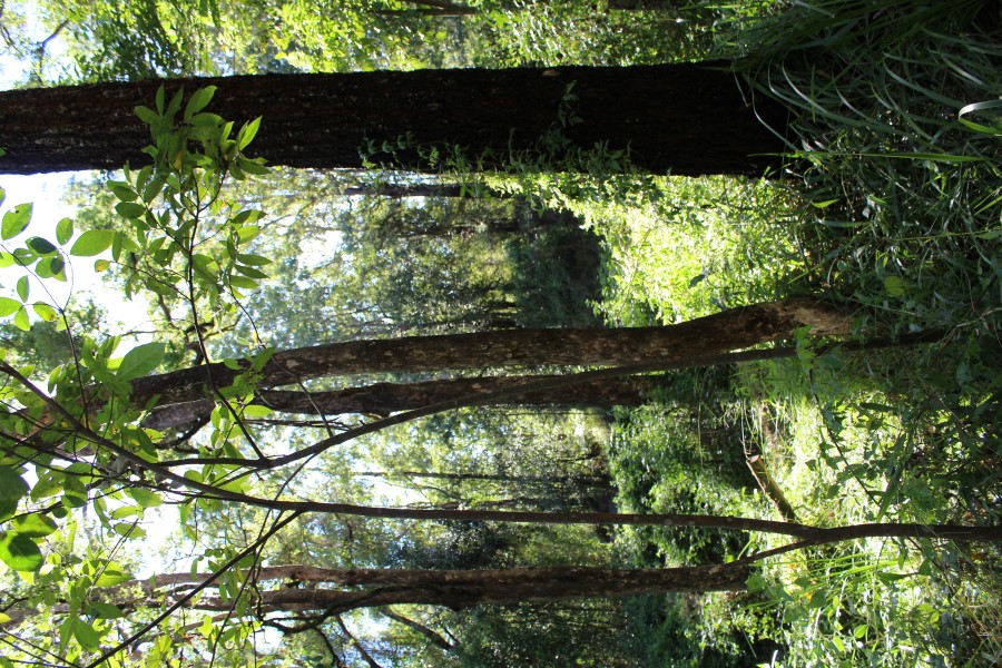
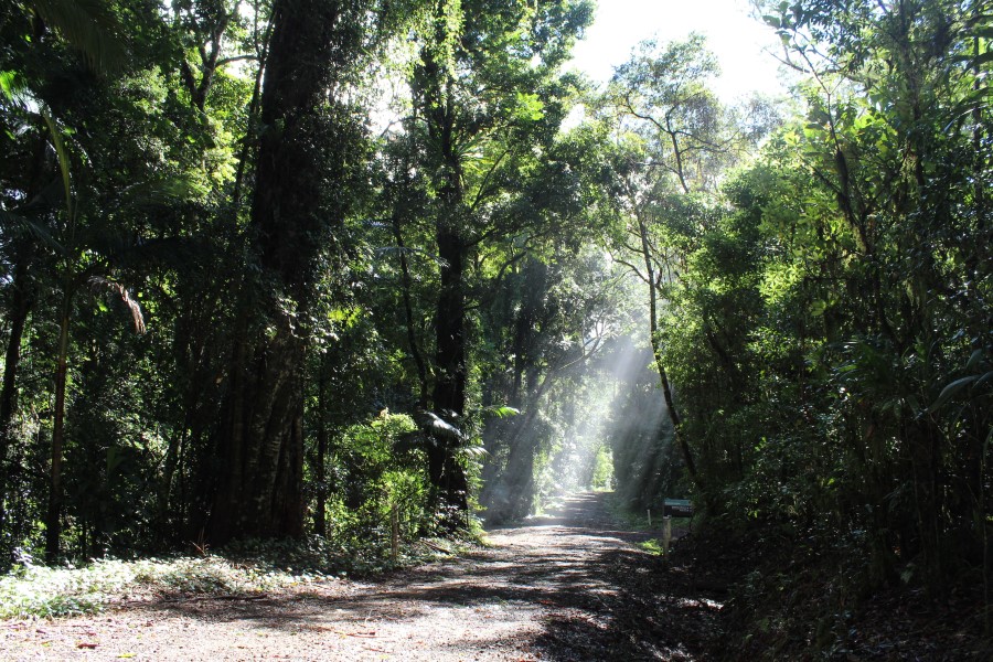
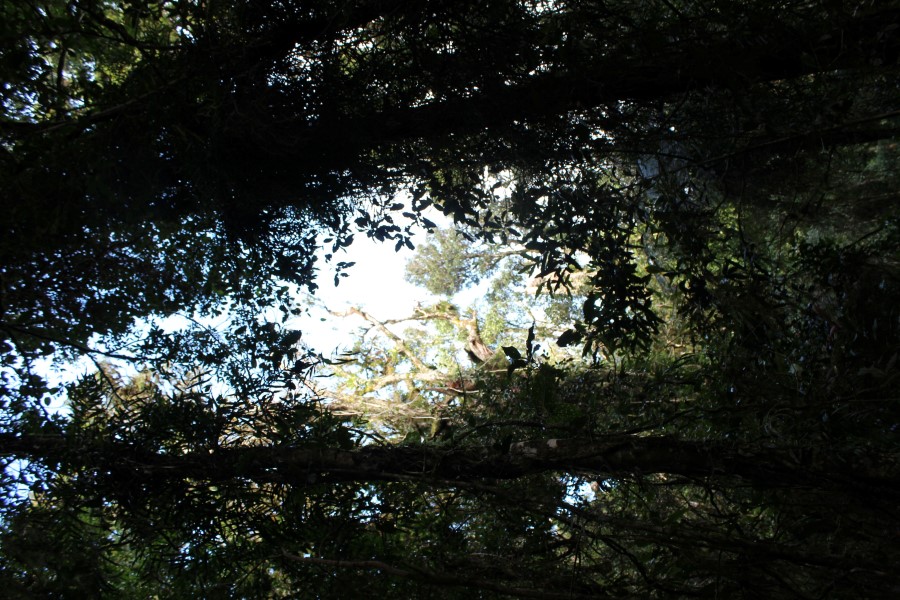
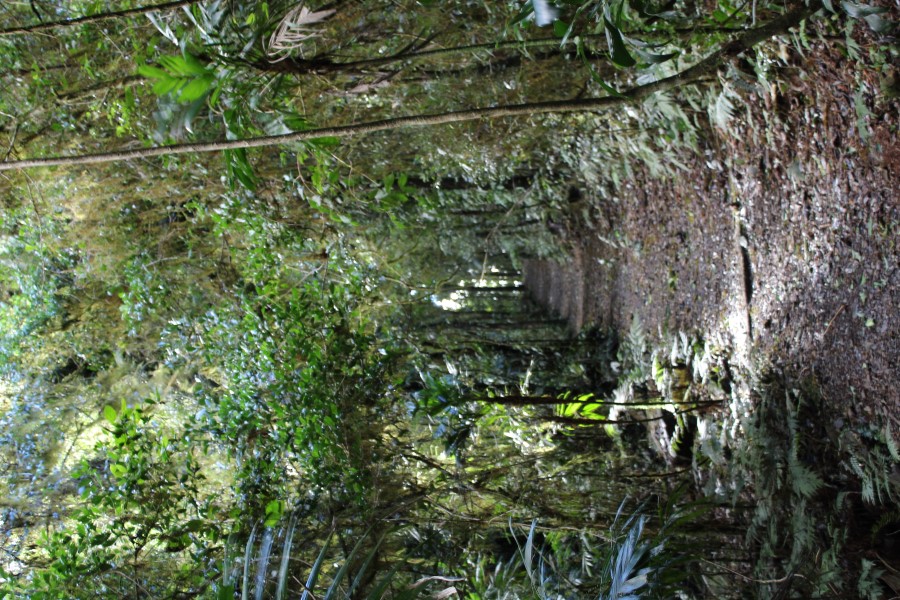
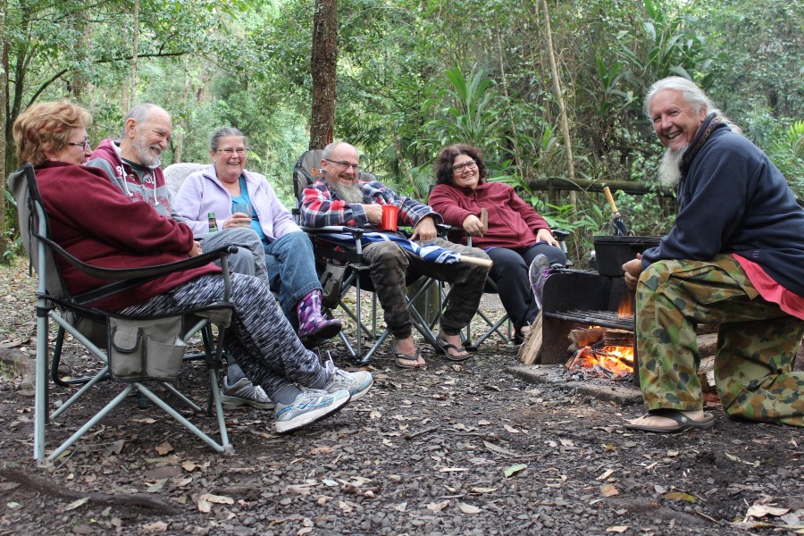
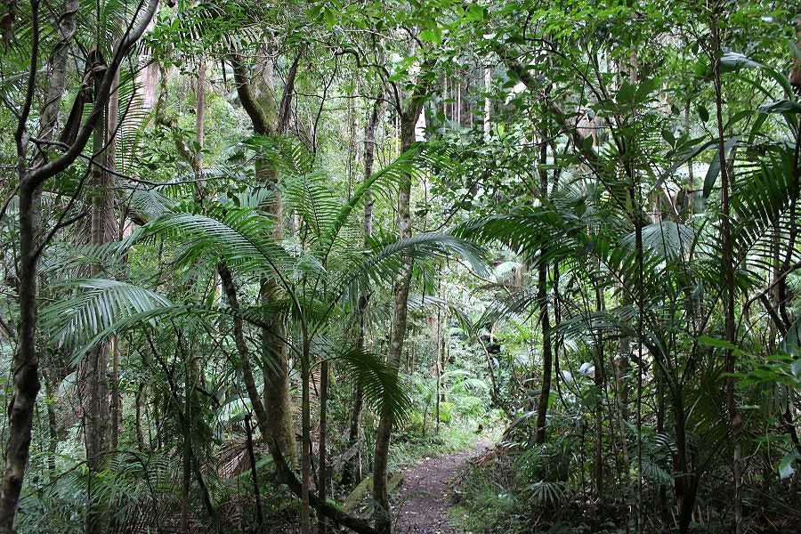
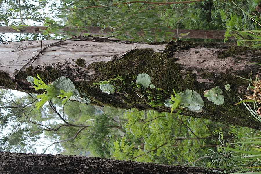
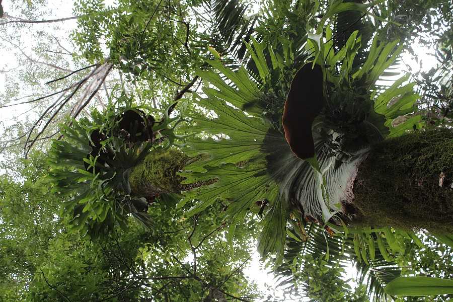
We drove to Sheepstation Creek Campground in the Border Ranges National Park for an over night stay. Before breaking camp we enjoyed the short walk to Brushbox Falls. The sun was not obliging once again.
|
||||||||||||||||||||||||||||||||||||||||||||||||||||||||||||||||||||||||||||||