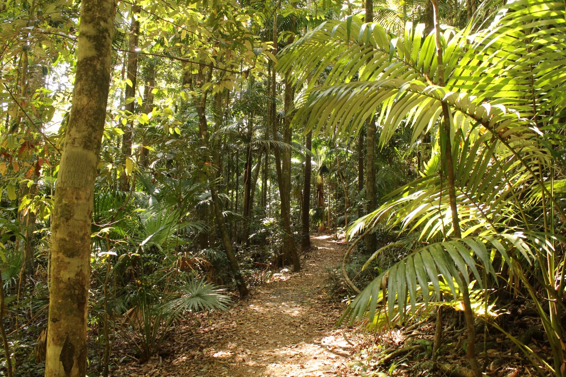
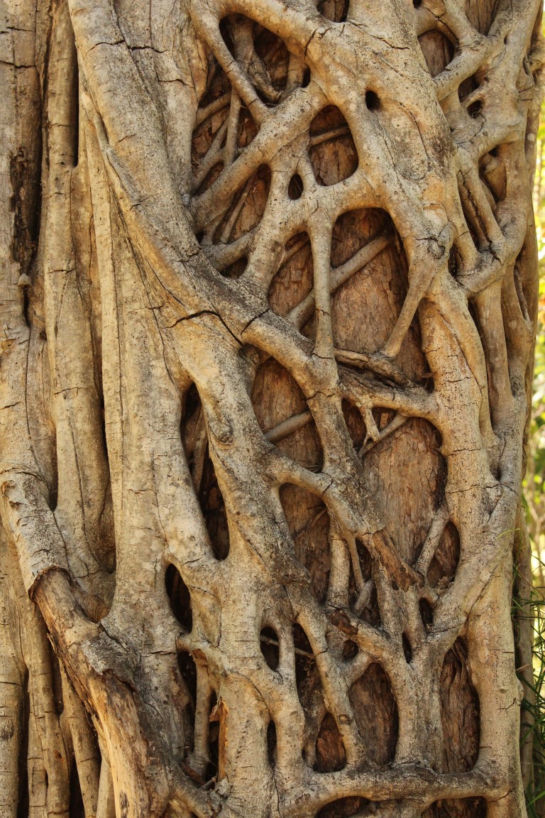
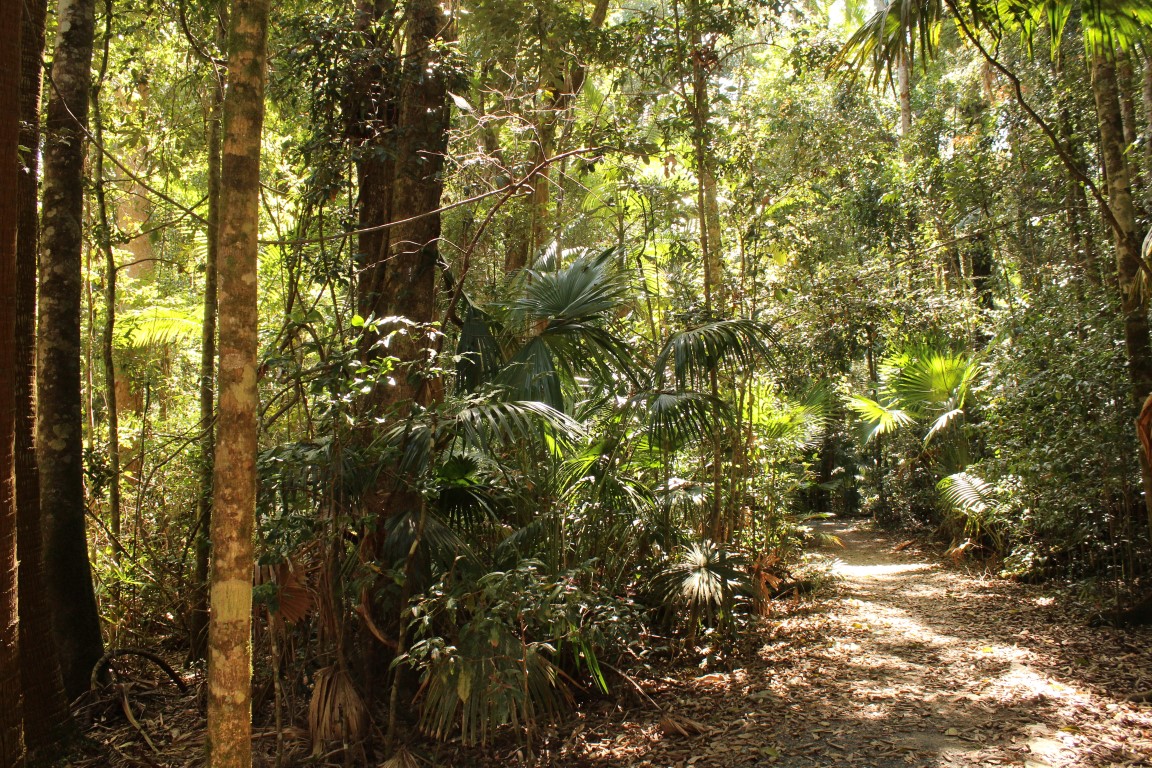
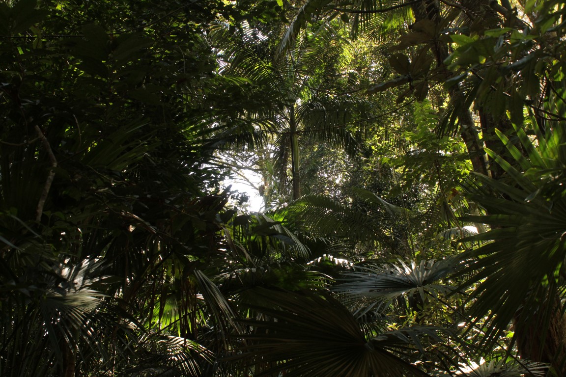
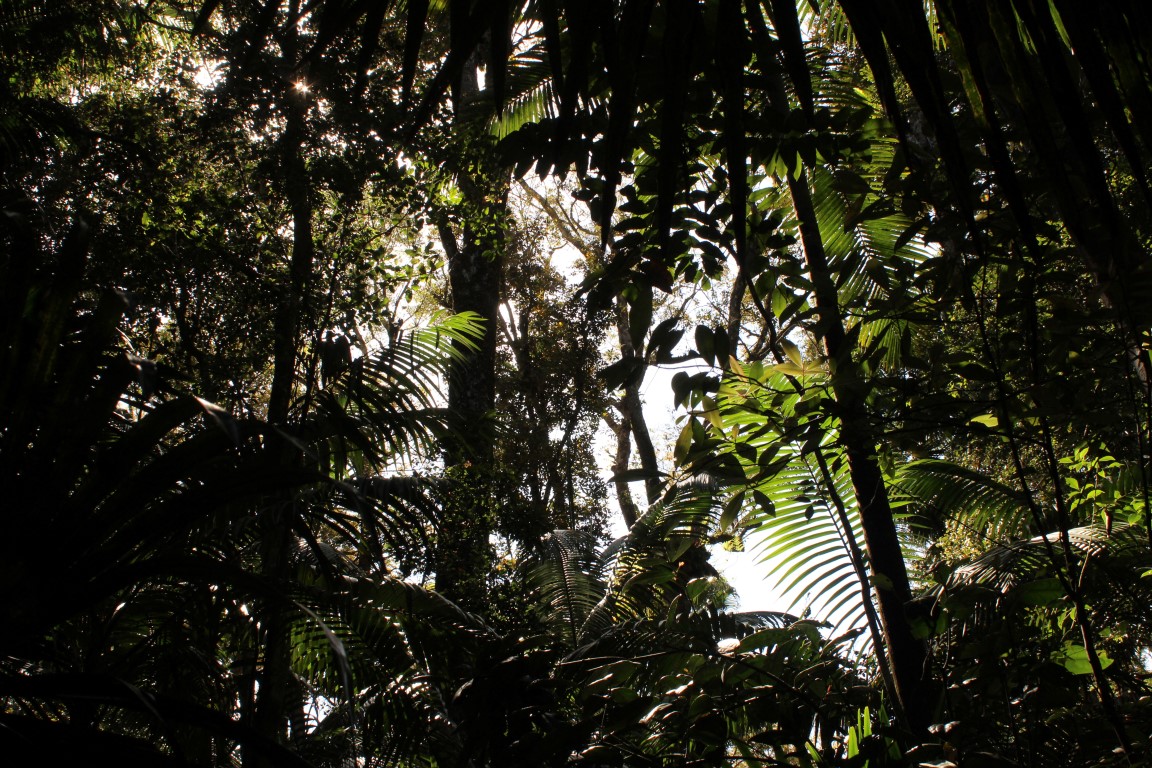
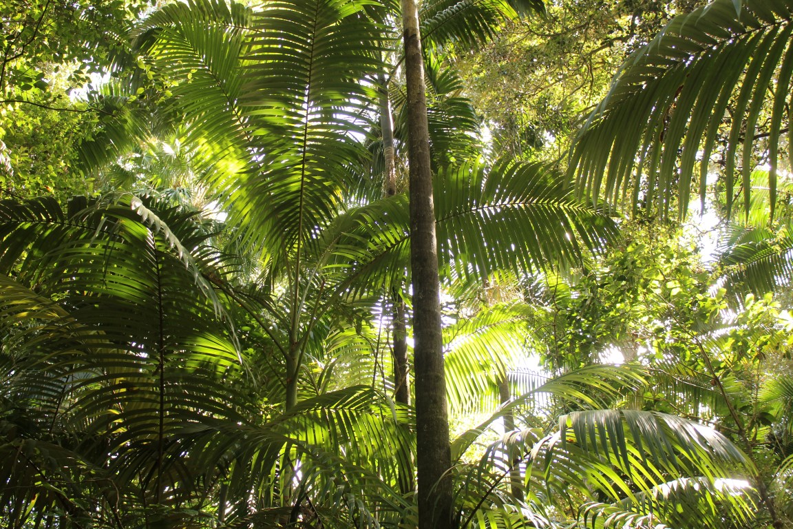
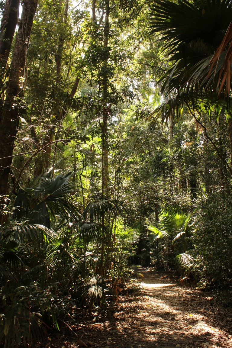
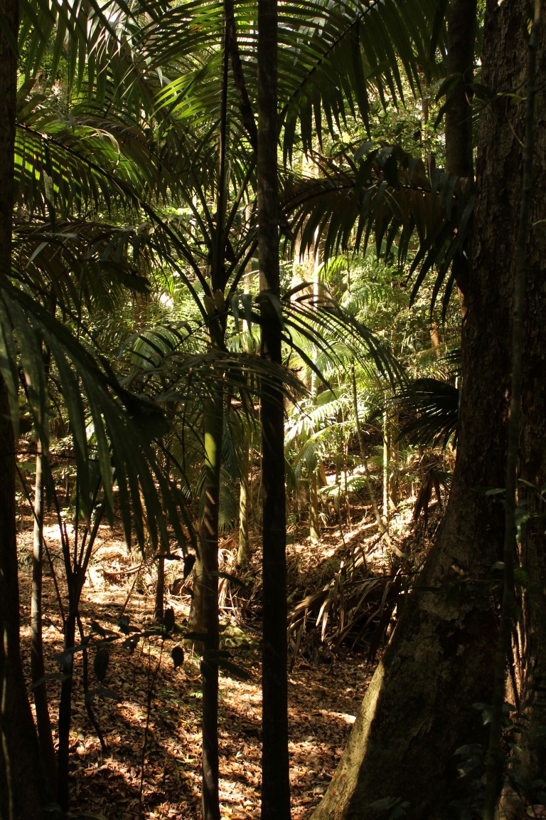
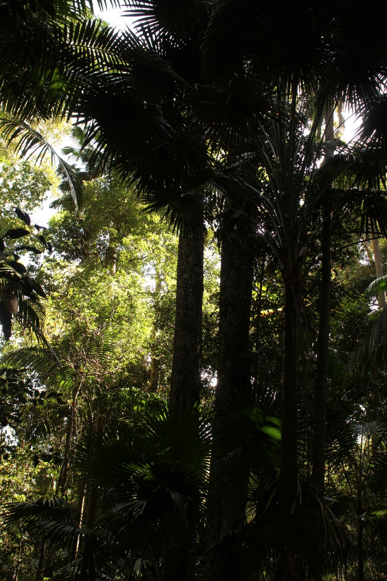
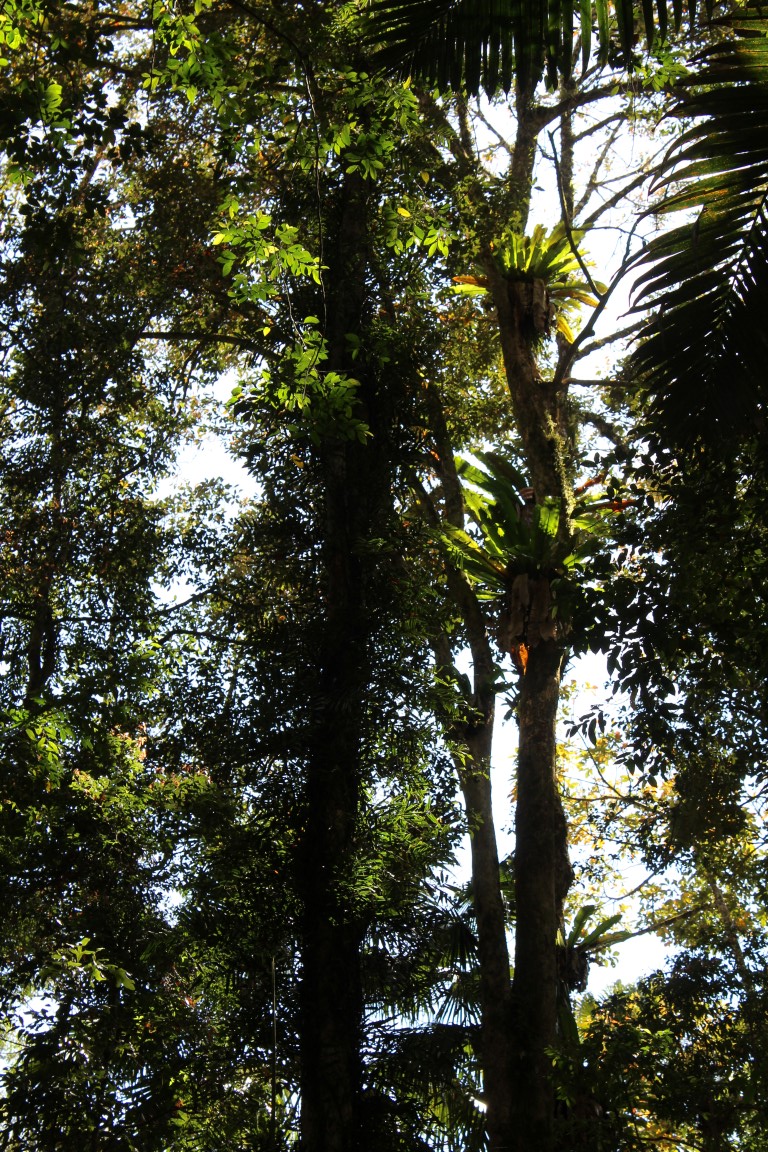
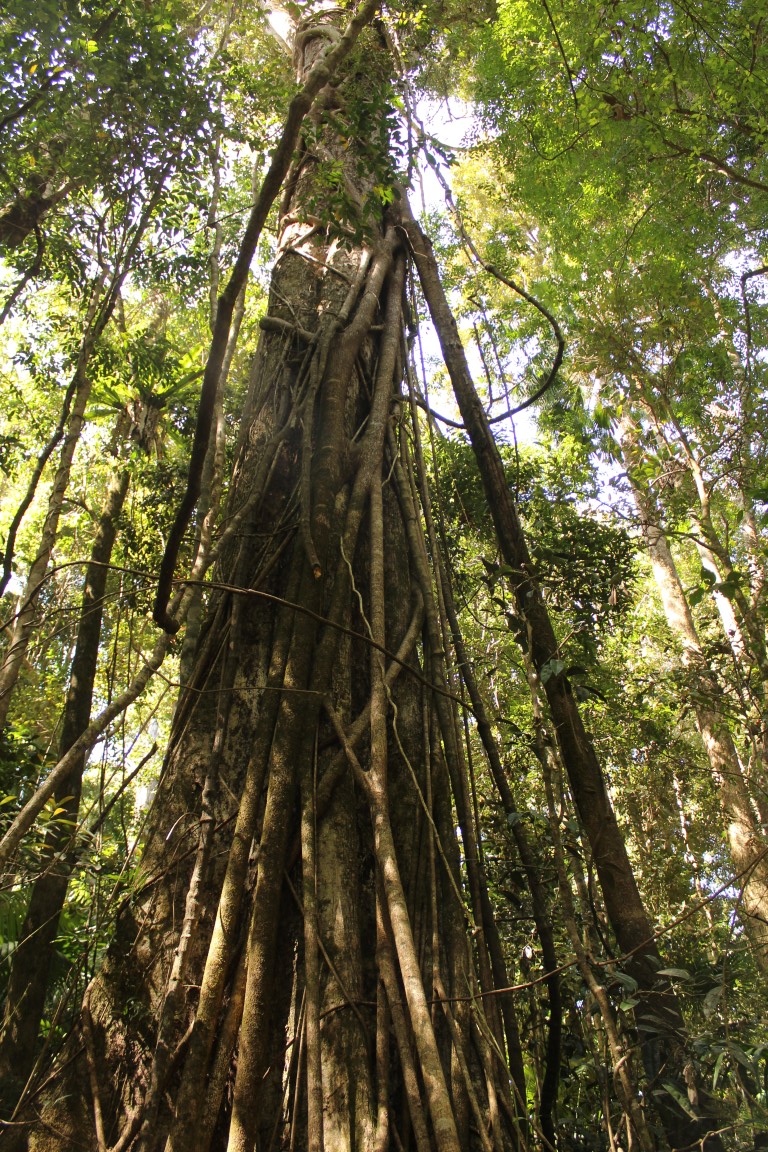
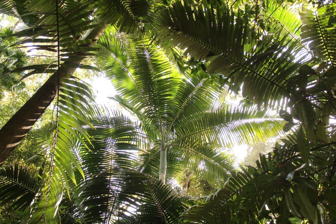
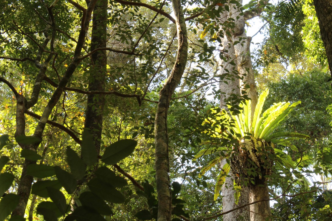
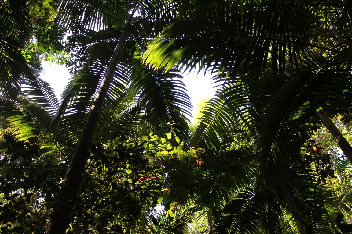
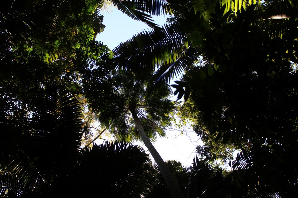
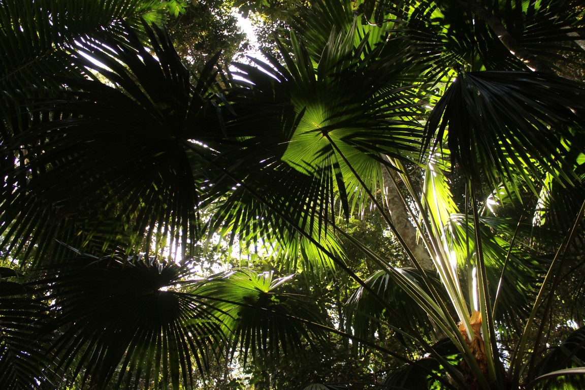
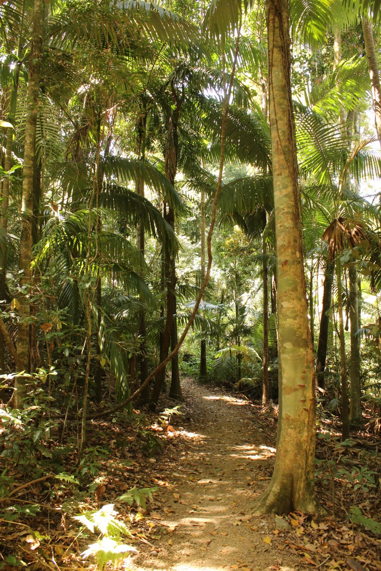
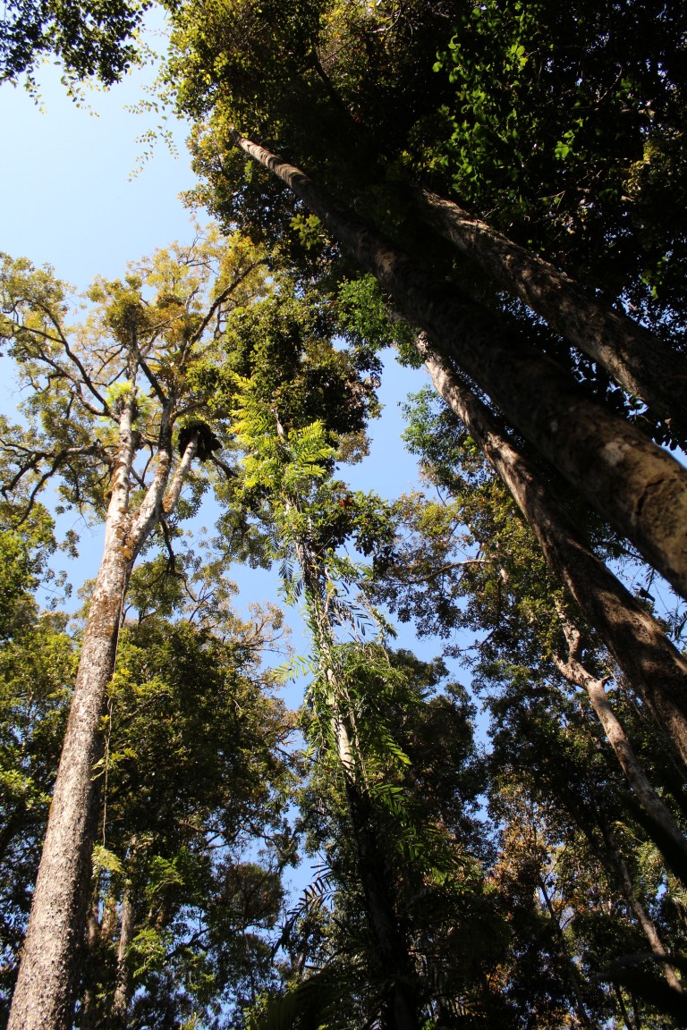
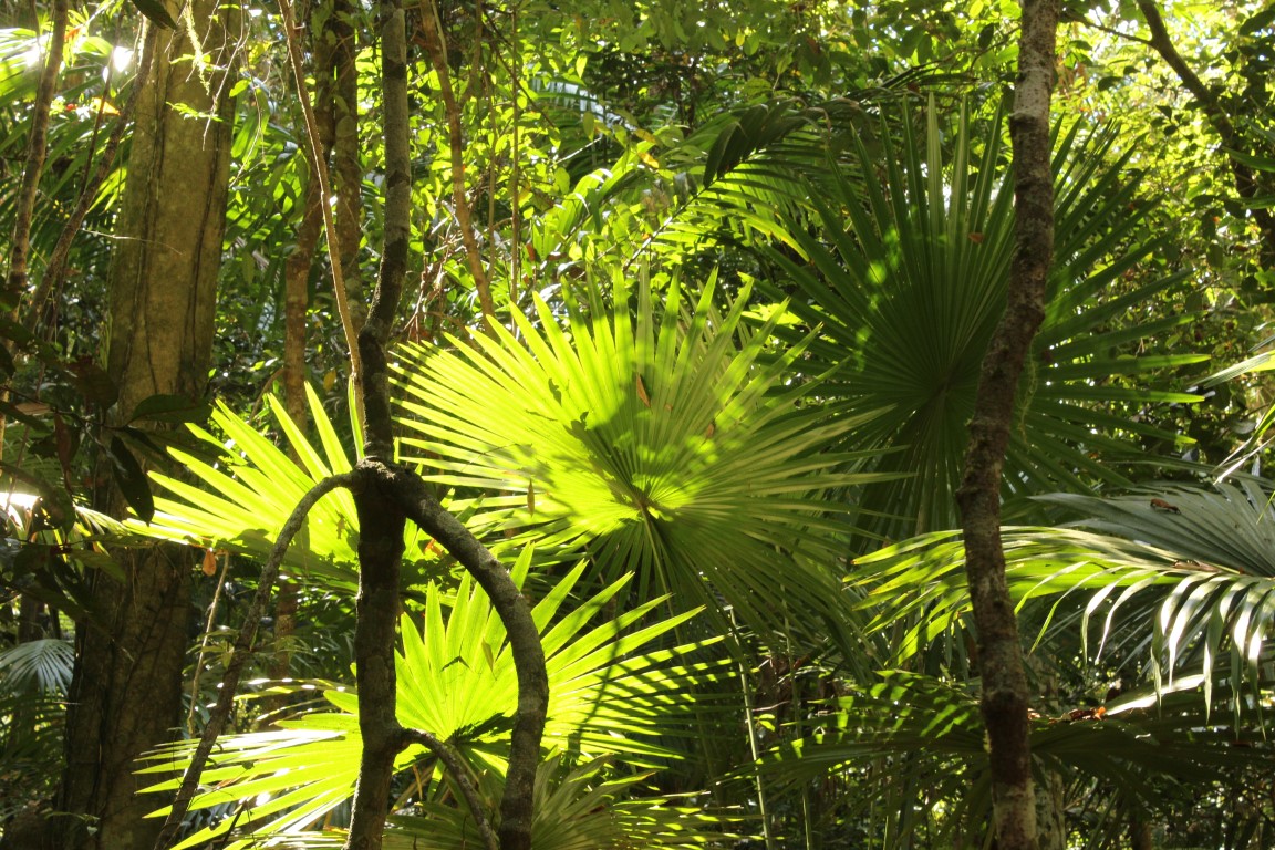
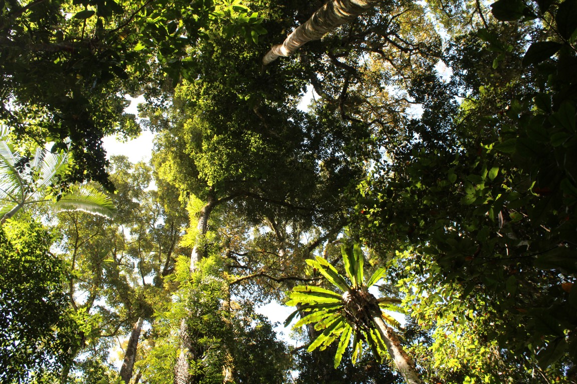
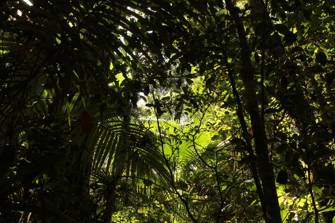
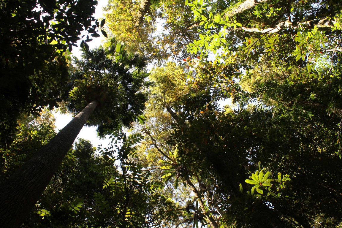
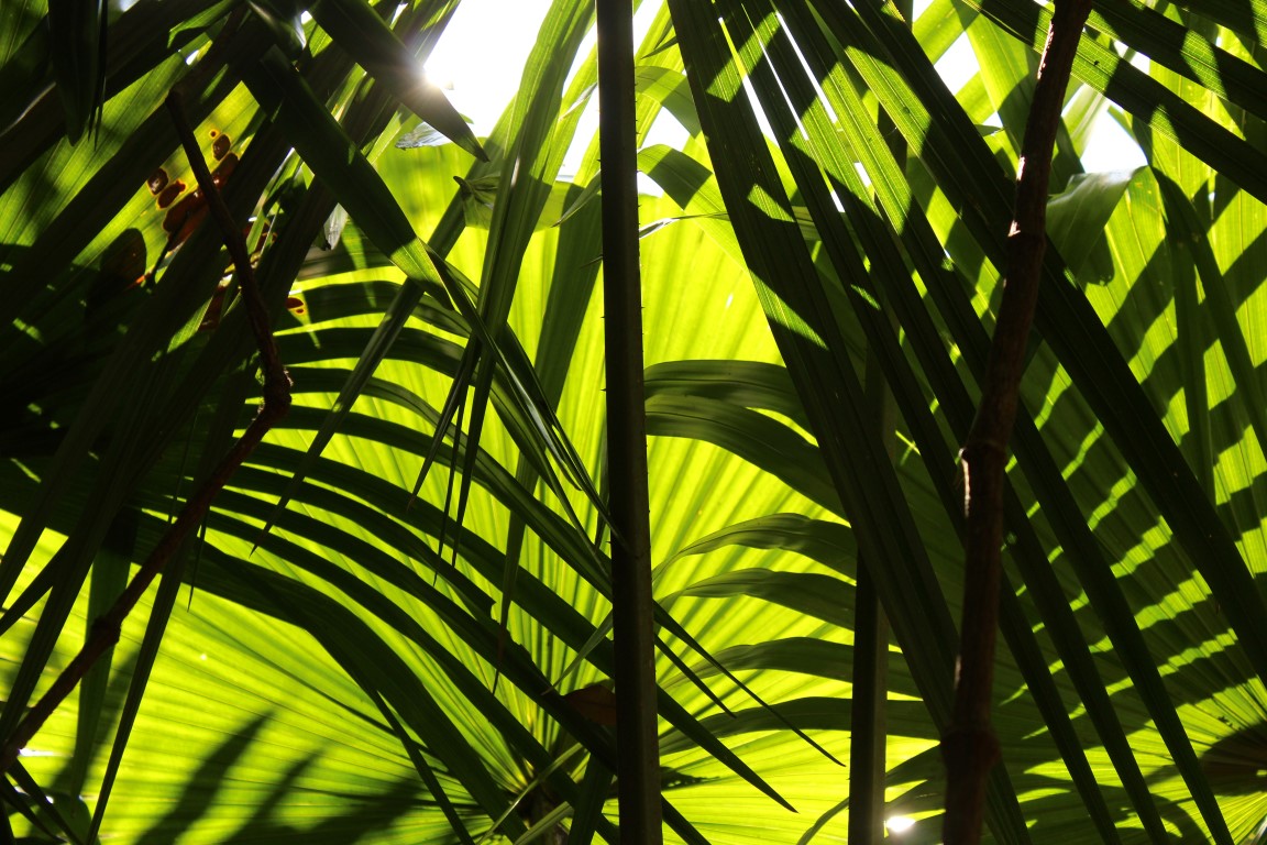
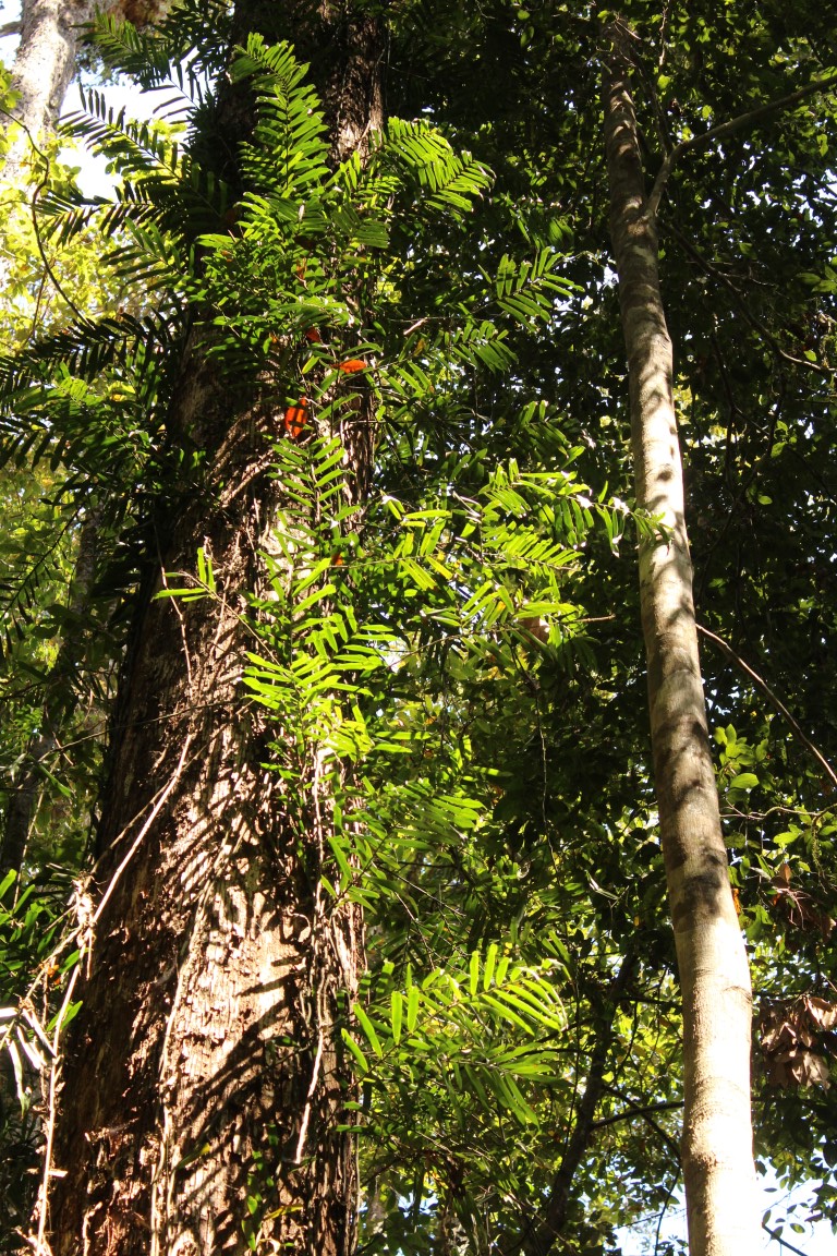
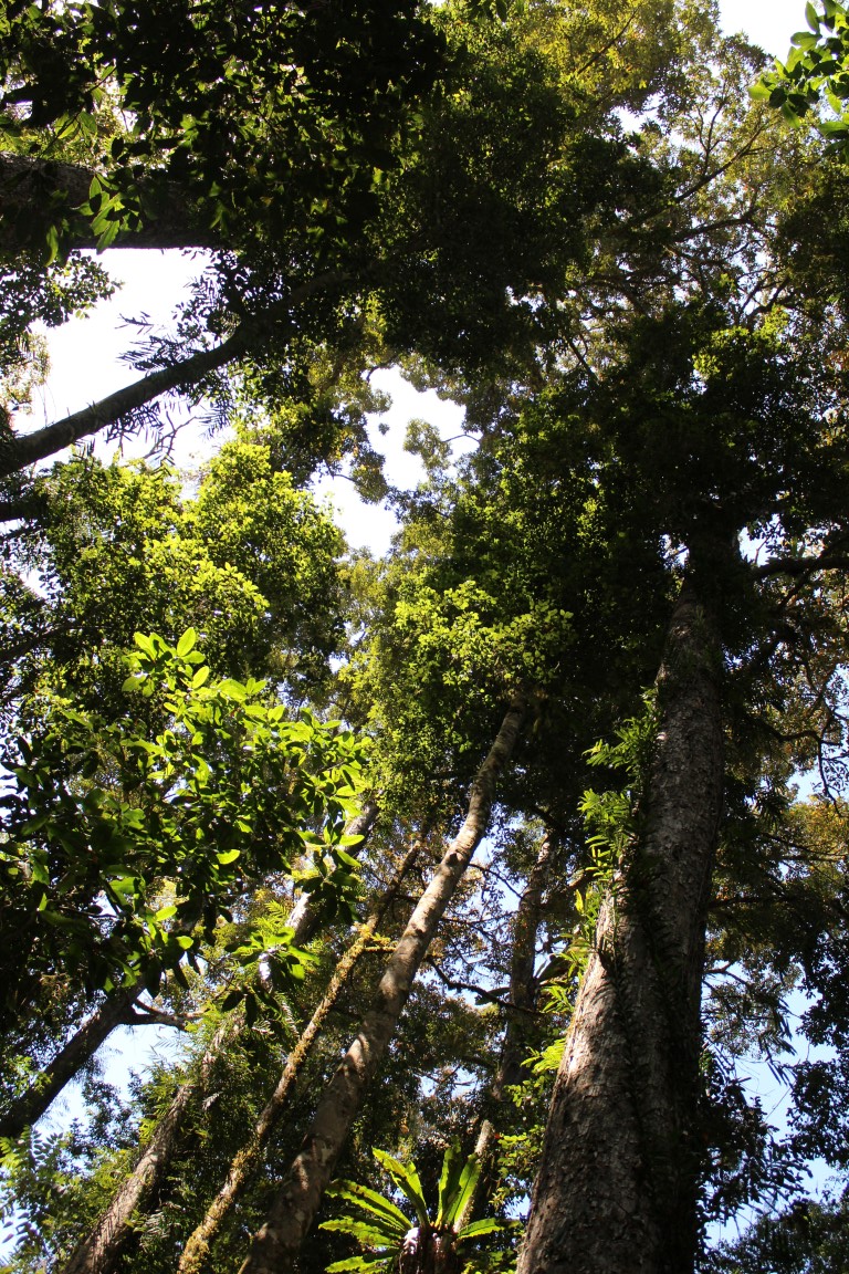
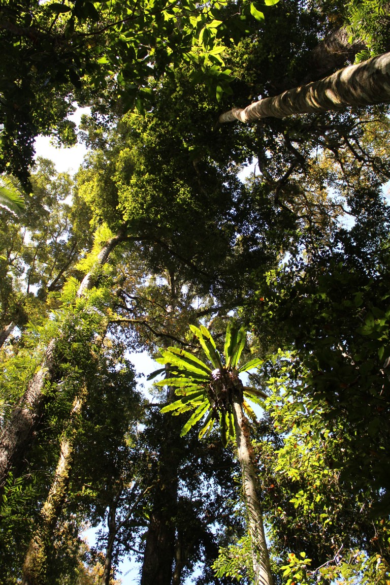
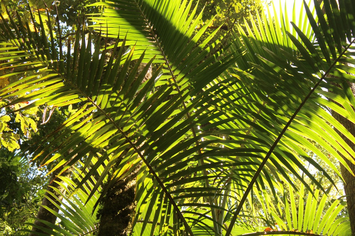
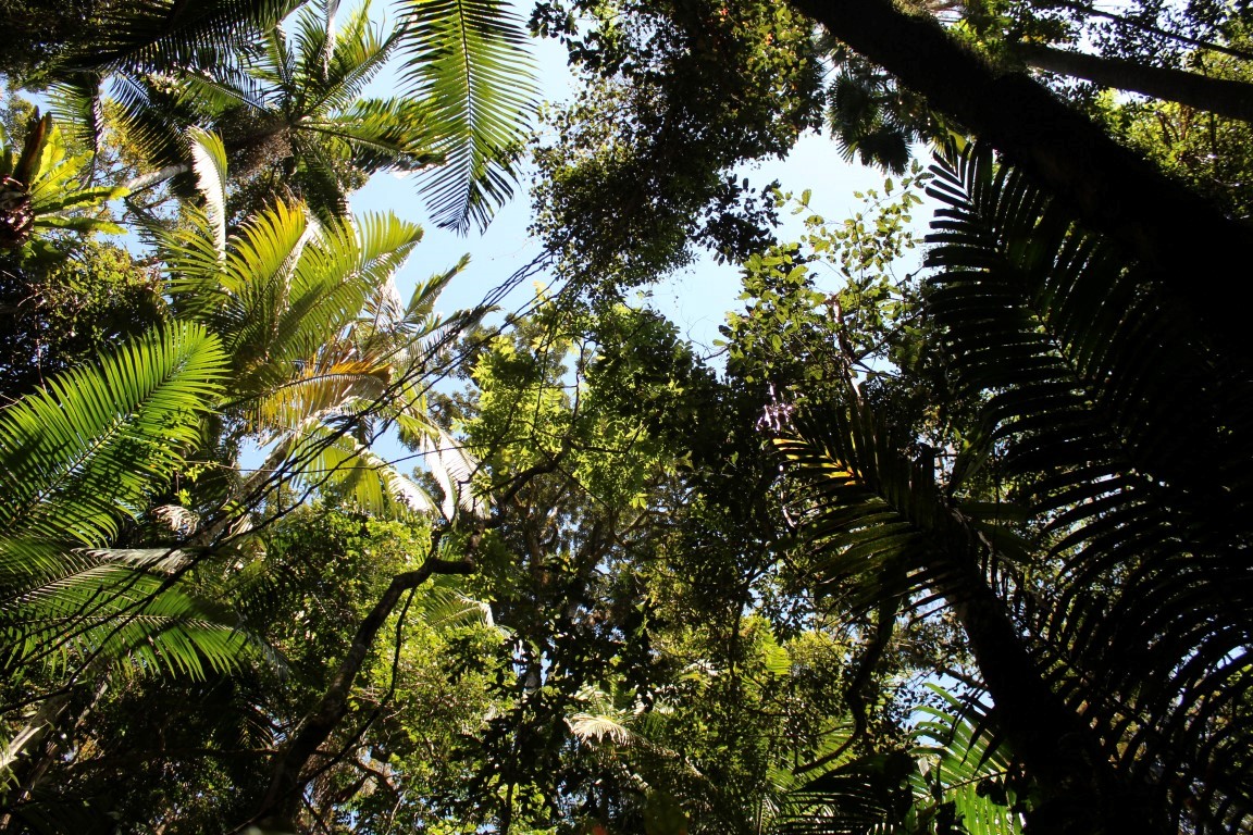
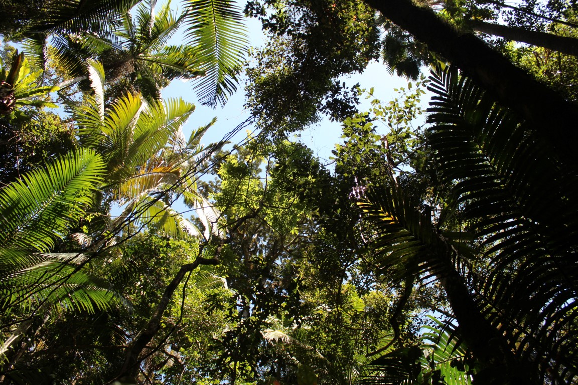
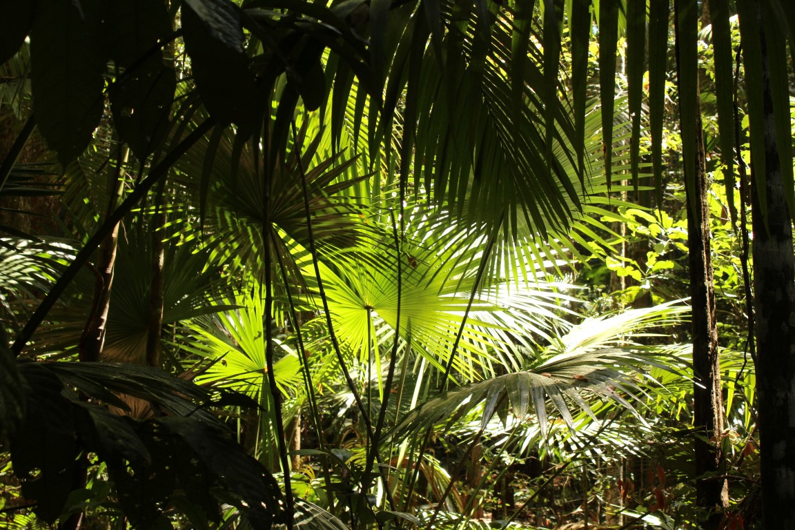
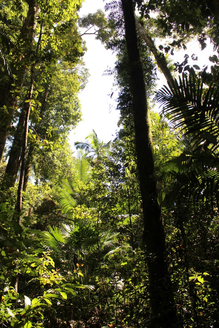
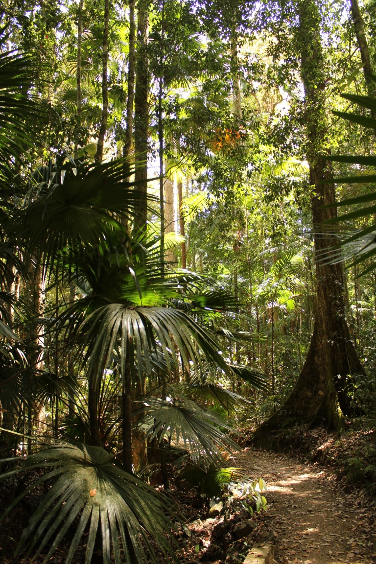
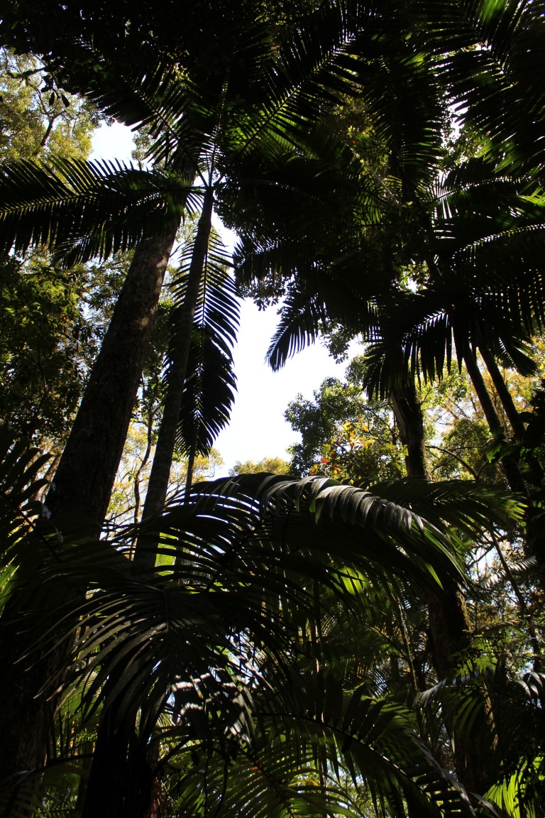
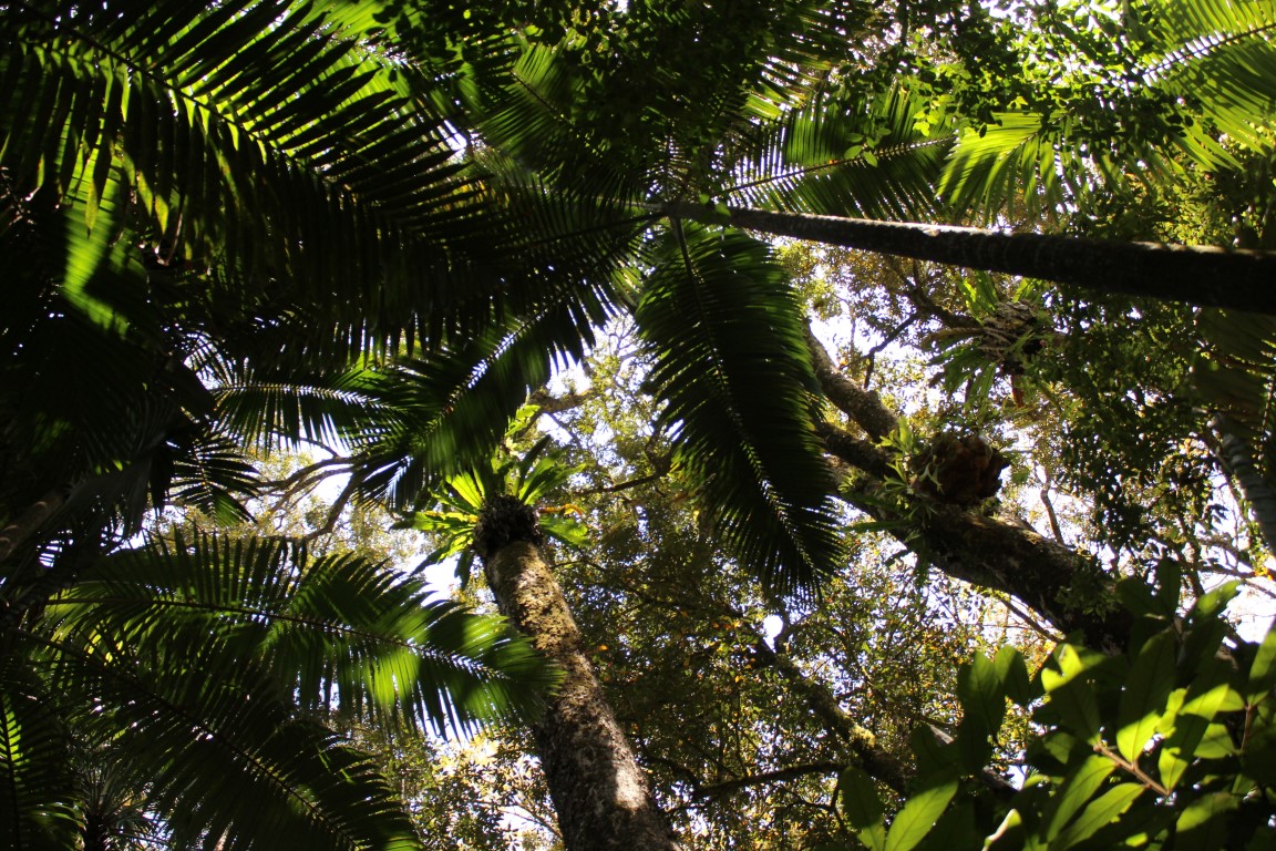
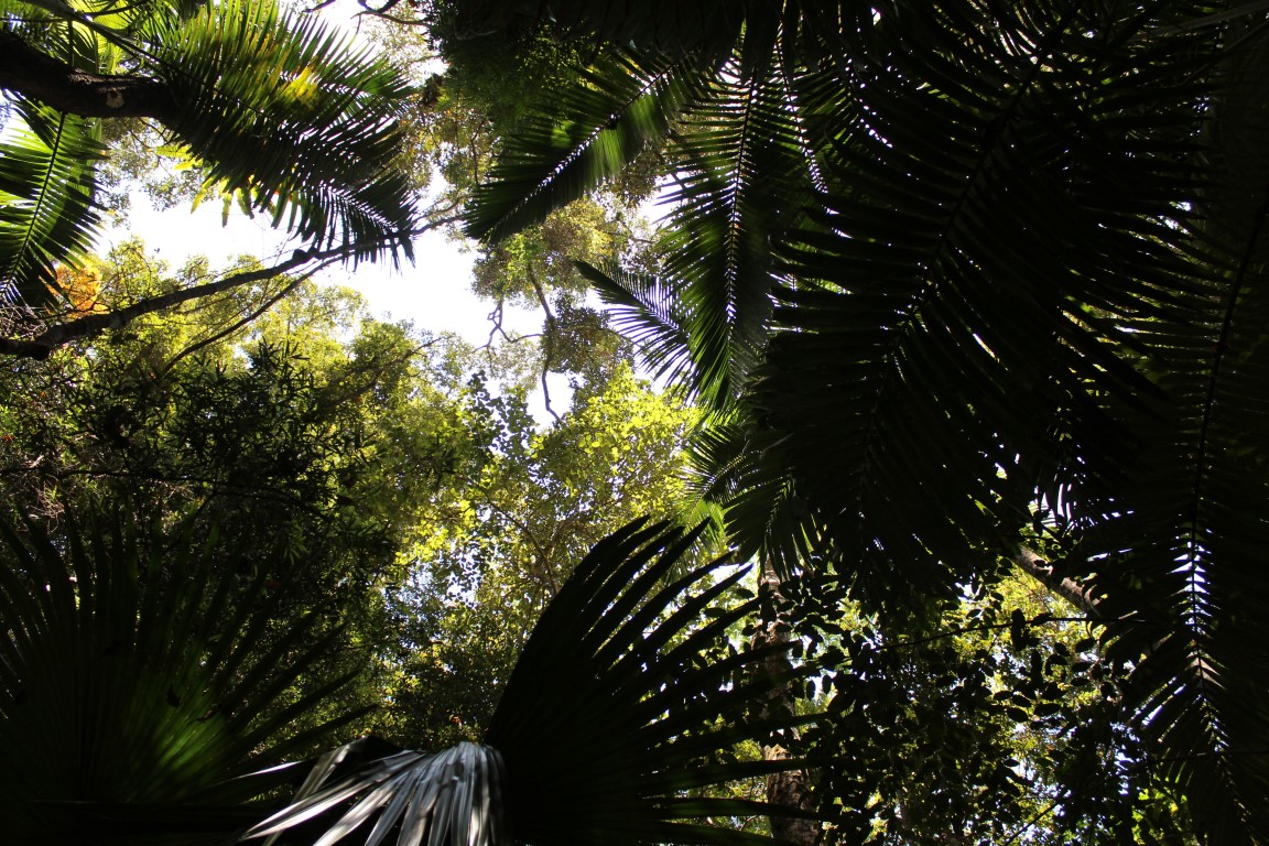
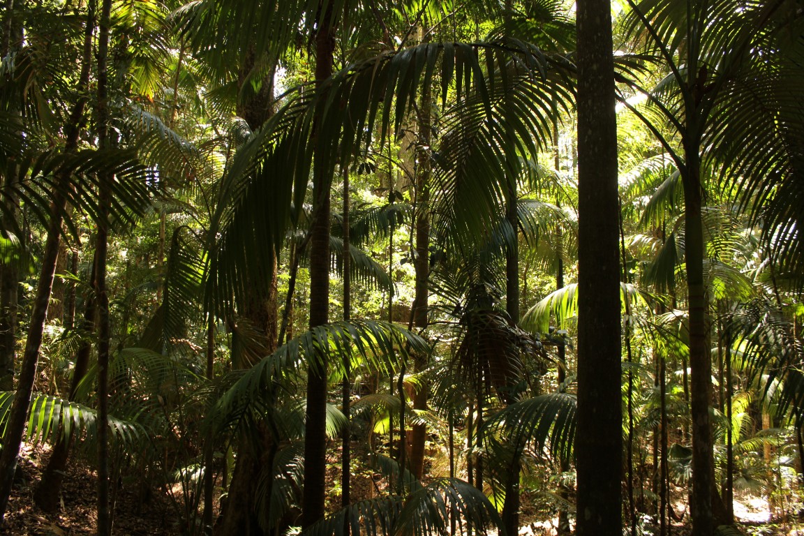
Rainforest Circuit Walk - Eungella National Park


Eungella National Park encompasses 52,900ha & is located on an isolated massif about 80km west of Mackay in north central Queensland. The Eungella Plateau rises to 1259metres at Mt Dalrymple and to a similar elevation at Mt William, forming part of the Clarke Range.

Rainforest in the national park ranges from high elevation, notophyll vine forest to low elevation mesophyll forests at the base of the ranges. Notophyll vine forest with tall eucalypts such as red stringybark is found on the ridges of eastern facing slopes and drier western slopes often contain hoop pine. The rainforests of the Eungella massif represent one of the most isolated patches of this vegetation type in Australia. The rainforest is bordered by eucalypt forests and woodlands across much of its extent.

The word Eungella is an aboriginal name meaning ‘land of the cloud’ and with an average annual rainfall of 2240mm, it often seems perched in a cloud. The temperature is generally around five degrees cooler than the surrounding lowlands.

back to IN OUR BACKYARD